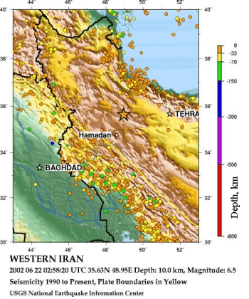
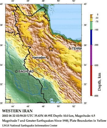
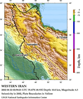
| Сейсмичность с 1990 г. по настоящее время | Землетрясения с магнитудой 7 и больше с 1900 г. | Землетрясения в 2002 г. |
|
|
|
Other deadly earthquakes occurring within 150 km of this earthquake include:
| Date (UTC) | Magnitude | Comments |
|---|---|---|
| 1957 12 13 | 7.3 | 1130 killed * |
| 1958 08 16 | 6.8 | 137 killed * |
| 1963 03 24 | 7.2 | About 100 killed * |
| 1983 07 22 | 5.6 | 3 killed, 41 injured |
| 1990 06 21 | 5.8 | At least 20 killed (aftershock of 1990 06 20) |
| 1991 11 28 | 5.6 | 1 killed, 70 injured |
На основную страницу Список землетрясений
URL: http://zeus.wdcb.ru/wdcb/sep/strong/20020622/hist.htmlLast revision June 27, 2002